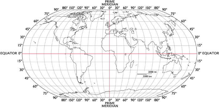
In this week’s STEM activity, students will learn about latitude and longitude and the GPS system while hunting down various coordinates on the earth to uncover what’s there.
The Global Positioning System (GPS), is a satellite navigation system that provides geolocation and time information to a GPS receiver. Every location on earth has a geographic coordinate where latitude and longitude lines meet. In this STEM project, students will go on a world wide hunt for what’s located at specific geographic coordinates and chart them on a world map. Supplies list, instructions, and worksheets are inside student accounts.
